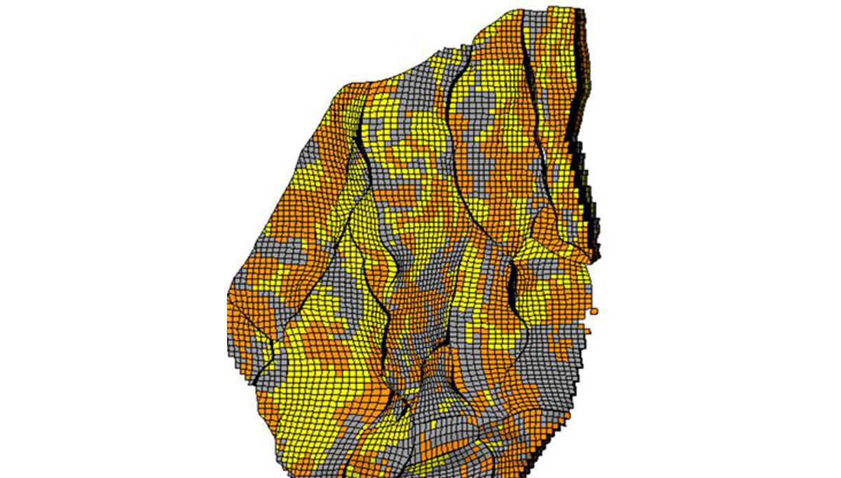
The directional steering of drilling is crucial to improving the recovery from petroleum reservoirs. Geosteering refers to the directing drilling and well placement in real time based on geology.
By inverting logging while drilling (LWD) data into quantitative descriptions of rock properties and 3-dimensional geological structures, we can gain a deeper understanding of the 3D geology around a wellbore, thereby improved well geosteering decision making.
There are several shortcomings to the current 3D well geosteering system:
- There is no automated, real-time, 3D geological interpretation and assessment of interpretational uncertainty while drilling
- a standardized procedure is not available to identify all possible geological configurations along a planned well,
- it is computationally expensive to calculate EM measurements obtained in 3D geomodel with the current inversion method that accounts for uncertainty,
- the range of Machine Learning (ML) based technologies for geosteering is very limited, and we are unaware of any method that identifies geological features.
The primary objective is to develop and verify a workflow for automatic, real-time, around-wellbore 3D geological interpretation of LWD logs for optimal well placement decisions. The following secondary objectives will be addressed:
- Around-wellbore geomodelling: Generate a set of site-specific around-wellbore 3D geomodels that capture all known and expected geological features and configurations expected to be encountered along the well.
- Probabilistic 3D inversion: Robust, accurate and computationally effective ensemble-based inversion of LWD logs (including deep sensing borehole EM measurements) to quantify uncertainties.
- ML methods: ML-based methods for real-time geological interpretation to complement and expand on the analytical methods.
- Verification: Assess the quality of the around-wellbore interpretation under various geological conditions through case studies.
