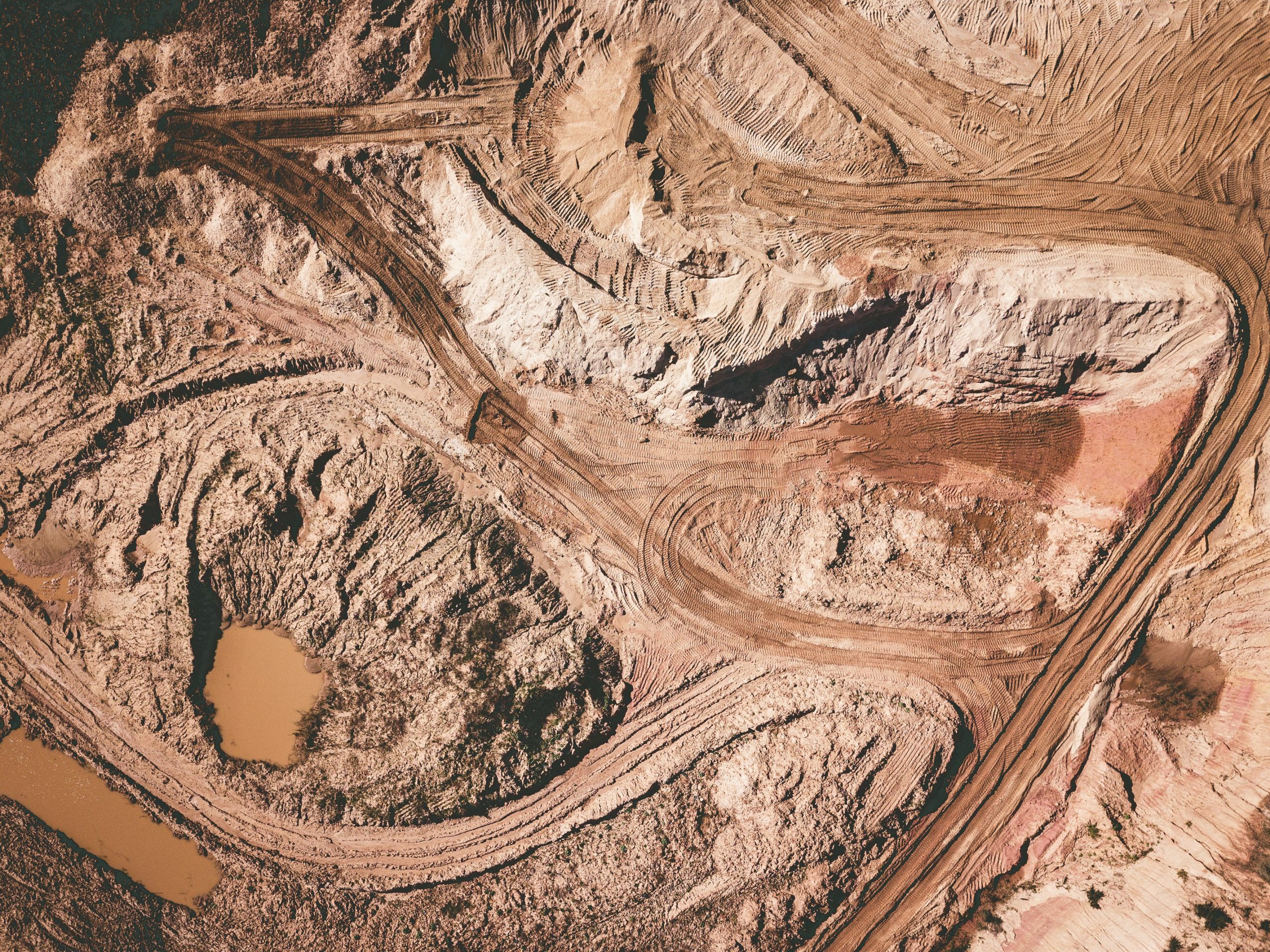
The m4mining project aims to provide an integrated remote sensing approach for mapping and monitoring active and inactive miningsites. Hyper- and multispectral imaging combined with 3D surface measurement will be utilised for material identification from the detailed mine face to the site scale using unmanned aerial vehicles (UAVs) and satellite sensors.
Central to the proposed work is a synergistic unification of UAV and satellite-based processing algorithms, workflows and decision-making tools at timescales required to impact active operations and environmental and risk management of tailings and waste sites. A novel UAV system will combine hyperspectral, lidar, navigation, on-board computing systems and telemetry to acquire high-resolution oblique datasets from minefaces and tailings.
Key innovations will be dynamic processing of spectral and lidar data, communicating initial results to on-siteusers, allowing interactive presentation and decision-making while the UAV is in flight. In addition, high quality results be rapidlyavailable for integration with site-scale satellite workflows and enhanced classification algorithms. This combined approach offers a stepchange in active mine operations and tailings management, paving the way for novel products and services.
New applications include improved sorting of material during extraction, material quality assessment, re-mining of secondary raw materials, as well as monitoring environmental impact.
m4mining will contribute to reduced energy consumption through faster response times for mine operators and will impact digitalisation of mining. The main result will be technology validation in operational environments: three sites in EU and keyEU raw materials import markets will be used, in Cyprus, Greece and Australia. The project consortium is established from internationally leading commercial hardware and software providers, research groups in technology and applications in mining, and public stakeholders.