- Snow on sea ice is one of the key parameters for the polar climate system regulating sea-ice growth and melt.
- Future snow depth retrieval algorithms based on dual-frequency satellite altimetry, such as the Copernicus Polar Ice and Snow Topography Altimeter (CRISTAL) satellite by the European Space Agency (ESA), need to be calibrated and validated with in-situ data, and in-depth information about the snowpack is crucial to characterize penetration into the snow layer in both frequencies.
- New methods to retrieve accurate but spatially representative measurements of snow depth and density are highly required.
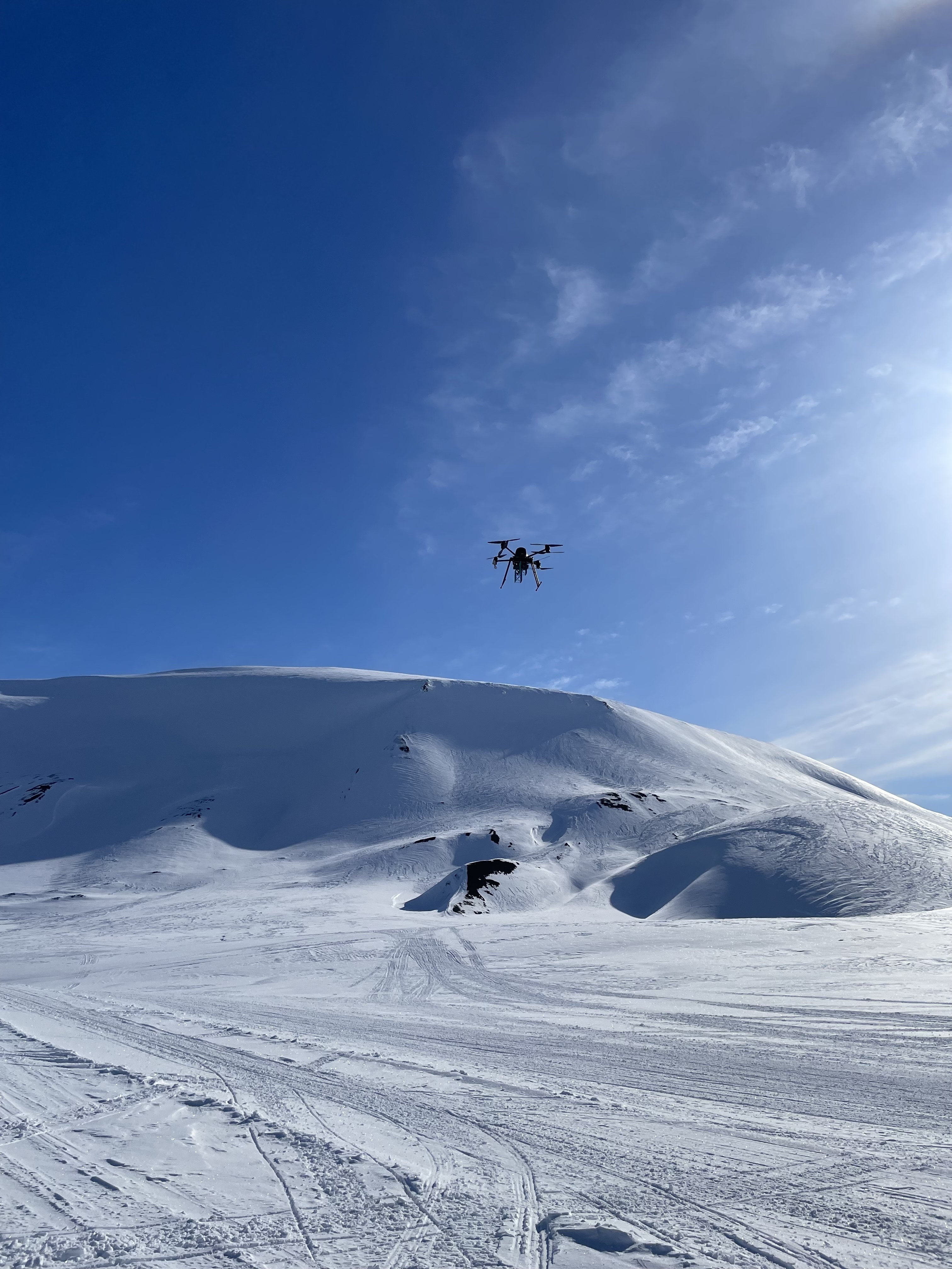
- Our NORCE UAV carries an ultra-wideband radar and can obtain information about the snow layer on sea ice to complement future satellite calibration/validation activities, including measurements of snow depth and potentially snow density. In addition, it can support future research studies and field campaigns that benefit from this mobile and flexible system
- We demonstrated the capabilities of SnowDrone on a campaign on Svalbard in spring 2024, where we carried out drone flights and complementary snow and sea ice thickness measurements on van Mijenfjorden, Svalbard. The surveys also include an underflight of an ICESat-2 beam track crossing the fjord.
Drone-mounted snow radar for airborne measurements of snow on sea ice - SnowDrone
Project Facts
Status
CONCLUDED
Duration
01.09.23 - 30.11.24
Total Budget
1.700.000 NOK
Funding
ESA - European Space Agency