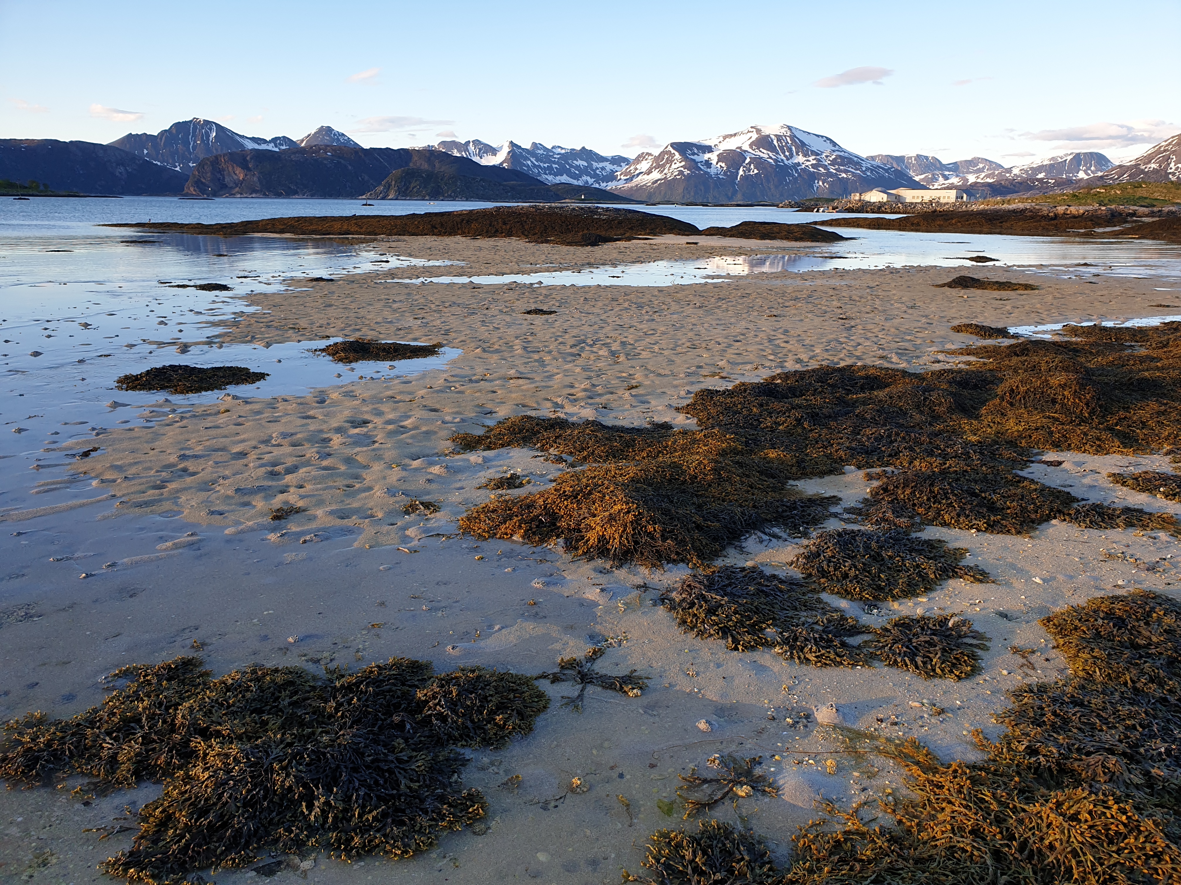
Satellite Based Intertidal-Zone Mapping from Sentinel-1 & 2
Jörg Haarpaintner
Publikasjoner i NVA
Mapping Atmospheric Exposure of the Intertidal Zone with Sentinel-1 CSAR in Northern Norway – Haarpaintner, Jörg; Davids, Corine. 2021, Remote Sensing. NORCE Research AS.
Mapping Atmospheric Exposure of the Intertidal Zone with Sentinel-1 CSAR In Norway – Haarpaintner, Jörg; Davids, Corine. 2021, 40th EARSeL Symposium 2021. NORCE Research AS.
Satellite-Based National Intertidal-Zone Mapping of Continental Norway with Sentinel-1&2 – Haarpaintner, Jörg; Davids, Corine; Hindberg, Heidi; Arntzen, Mæhlum, Ingar; Borch, Trygve, Njål. NORCE Research AS.
Se alle