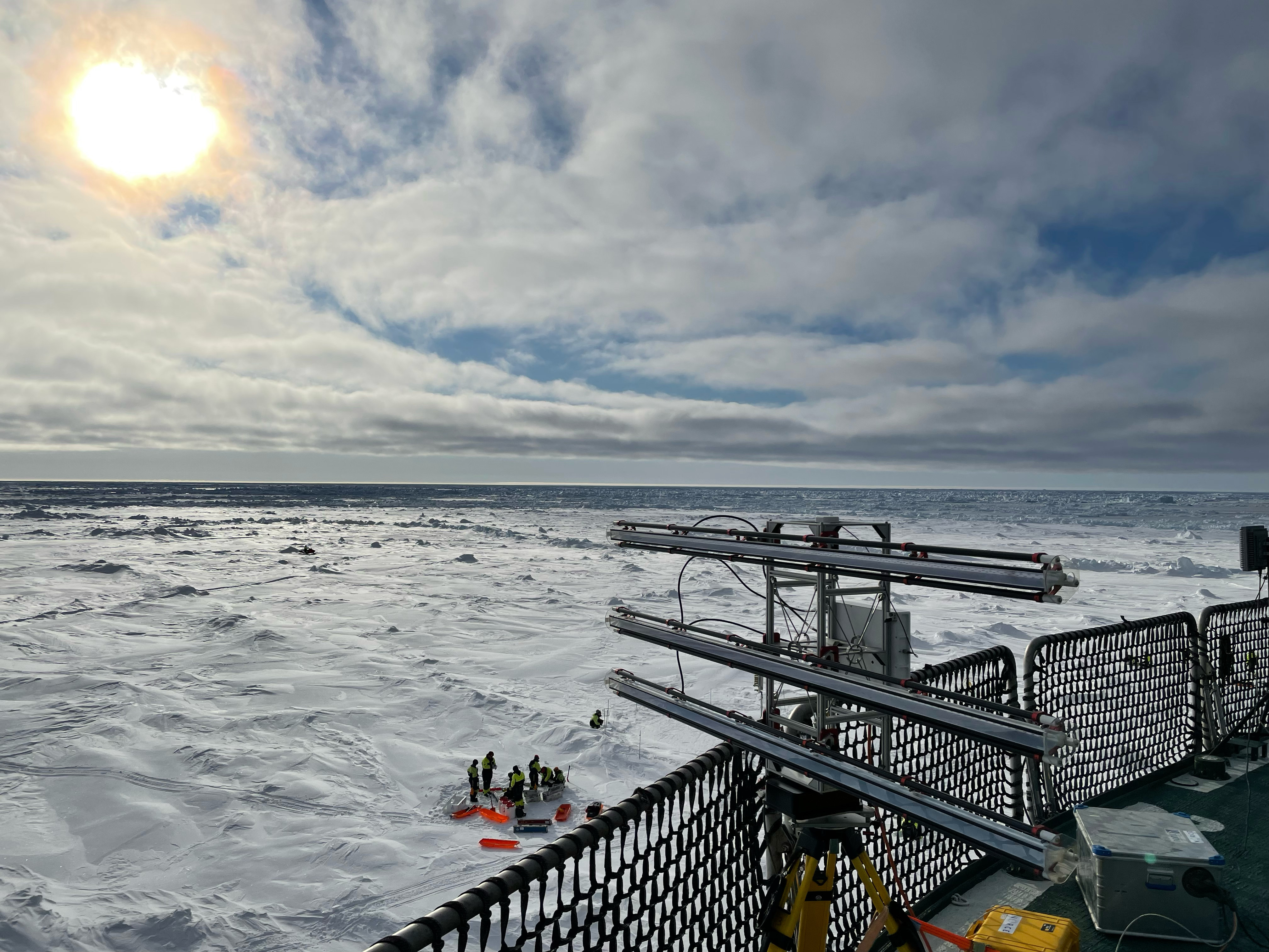

In April, a group of researchers boarded the research vessel Kronprins Haakon bound for the Fram Strait between Svalbard and Greenland. The common goal was trifold: to compare satellite data with real world observations of sea ice and snow, to collect data for oceanographic models, and to test new technology for drone based remote sensing.
The cruise was coordinated by the Centre for integrated remote sensing and forecasting for arctic operations (CIRFA).
CIRFA aims to develop new technology and systems for maritime surveillance and forecasting in the Arctic by combining multi-platform remote sensing, surface based measurements and numerical short-term forecast modelling. NORCE is one of the research partners in the centre, which is hosted by UiT the Arctic University of Norway.


