(This article was first published as an ESA Story.)
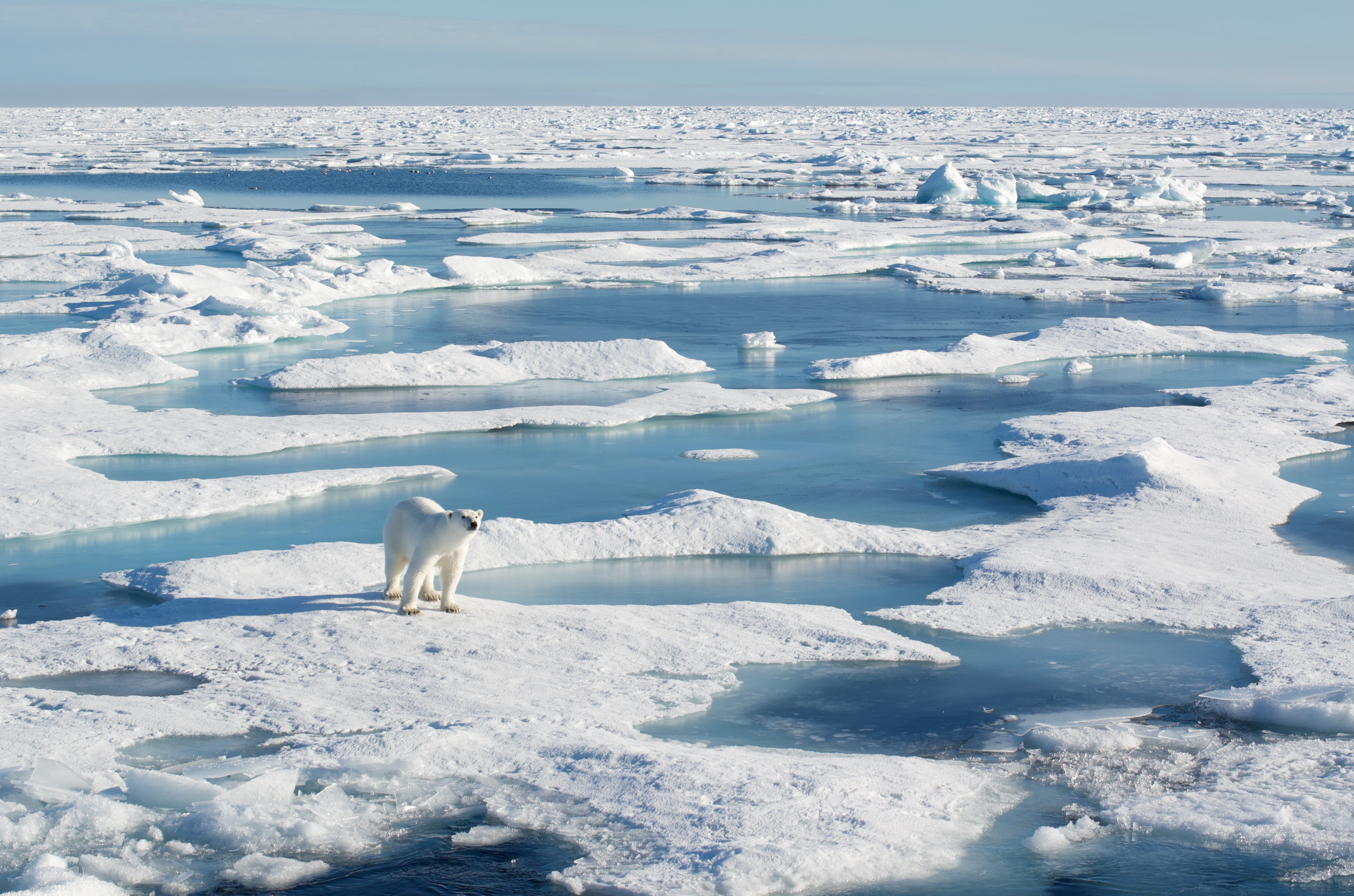
Monitoring Arctic sea ice has taken a major step forward with a new method that takes into account the constant movement of ice across the ocean. Published this week in the journal The Cryosphere, this new technique uses satellite data from the European Space Agency (ESA) from 2002 to 2020 to track the movements of ice floes, some of which can travel hundreds of kilometres per month. This eliminates the positional errors that occurred with traditional ice thickness mapping methods, significantly improving the accuracy of this important climate indicator.
Sea ice is recognised as an Essential Climate Variable because it is both an indicator of and a driver for global climate change. Polar sea ice regulates the exchange of heat between the ocean and the atmosphere, meaning its thickness is a critical parameter for understanding climate dynamics. Over 40 years of satellite data on sea ice concentration and almost 30 years of thickness measurements show dramatic changes: Arctic sea ice extent and volume are declining in all seasons, and the ice is becoming younger and more mobile. Accurate thickness measurements are essential for calculating sea ice volume, mass balance and freshwater fluxes. Researchers contributing to ESA’s Climate Change Initiative sea ice project aim to advance satellite retrieval capabilities for sea ice concentration and thickness. The resulting time series will provide climate scientists with the long-term, consistent datasets needed to monitor these rapid polar changes and improve climate predictions.